Finding the Clues in Atmospheric Layers
Chemical and environmental engineering professor contributes to research designed to improve understanding of conditions such as air pollution.

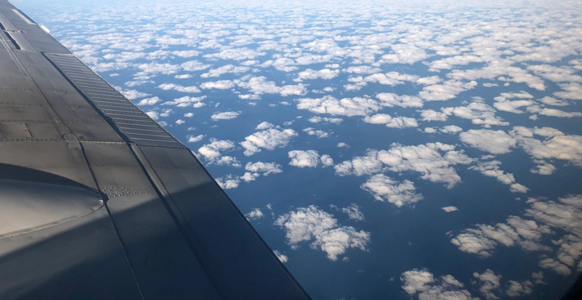
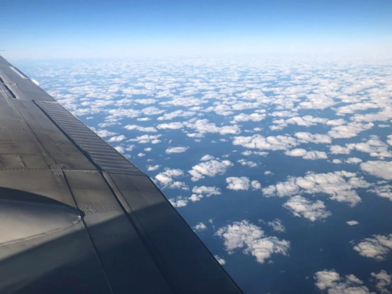
Armin Sorooshian’s studies of interactions between aerosols and cloud properties are informing the latest findings into Earth’s atmospheric layers. He took this photo during his 2019-2023 investigation over the Western Atlantic.
Earth's atmosphere is a dynamic place with layers of distinct characteristics that are constantly vying for real estate in the sky. And scientists have incentives to determine where these layers lie.
A team of University of Arizona-led researchers published a technique in the Journal of Geophysical Research Atmospheres that combines new scientific insights with the revision of an existing computer algorithm to better detect different layers of the atmosphere.
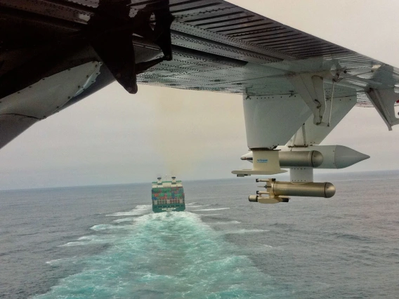
Yike Xu is the paper's first author and a graduate student in the University of Arizona Department of Hydrology and Atmospheric Sciences advised by professor Xubin Zeng. Armin Sorooshian, professor of chemical and environmental engineering and University Distinguished Scholar, is a co-author. The results of this study were made possible by a five-year project Sorooshian and Zeng began in 2019 with a $30 million award from NASA. Sorooshian and his team collected data on aerosols, clouds and meteorology and synthesized their interactions over the northwestern Atlantic Ocean using lidar – pulsed lasers that measure light scattering and absorption by aerosol particles in the atmosphere – and other instruments flown on two airplanes.
Improving Assessments and Predictions
Goals for the new technique include enabling scientists to explore the still mostly uncharted atmospheric world and enhancing the value of lidar measurements.
For example, knowing the height of what's called the planetary boundary layer – the layer of the atmosphere that interacts directly with the planet's surface – compared to the mixing layer, which contains thoroughly mixed air that steadily cools with increased elevation, can help meteorologists predict air quality.
The planetary boundary layer and mixed layer usually have nearly the same height. When they do, lidar laser technology can detect their height effectively. But sometimes, atmospheric conditions arise in which the mixed layer is significantly lower than the planetary boundary layer, a phenomenon called decoupling. Lidar has not been used to retrieve the height of both layers under these conditions. This is something scientists would like to be able to do because, for example, the more shallow the mixing layer is, the more concentrated pollution will be over a region. There are also implications for climate change mitigation.
Zeng, Sorooshian and their team hope their results will contribute to the development and launch of a new satellite mission focusing on the planetary boundary layer in the next decade.


